The following is from Accurate Assessment, the property assessor for the Town of Primrose:
1) If a person has an ag field that has been raising crops and a section of the field, say 2 acres out the 40 acre field, is now too wet to plant and now appears to be more of a marsh than a field, is that 2 acres still considered ag, or is it considered recreational land or something else?
This would not be considered recreational land. If it is and always has been a wet land this would be listed as E-13 undeveloped low swamp. If this is D-12 ag land tilled for crops but is too wet to farm we will leave it as D-12 ag until further investigation from us. This is because in dry seasons they could farm this land and in wet seasons the land may be gathering spot for water and too wet to farm.
2) In the scenario above, what is the time frame before it is considered to not be in ag. For example Cat Tails will start growing within a year of any place their seeds are blown to by wind, so any pocket of trapped moisture can have them and make it look like it has not been in Ag for a long time.
There is no set “time frame” for land to be considered a different classification. In most cases D-12 ag land is being used to till and farm crop. If this is a long-term situation where land is under water and growing catails we will work with the property owner to change the classification to E-13 swamp land. If we do change the classification to E-13 swamp and we see this land being tilled in future years we will change the classification back to D-12 ag.
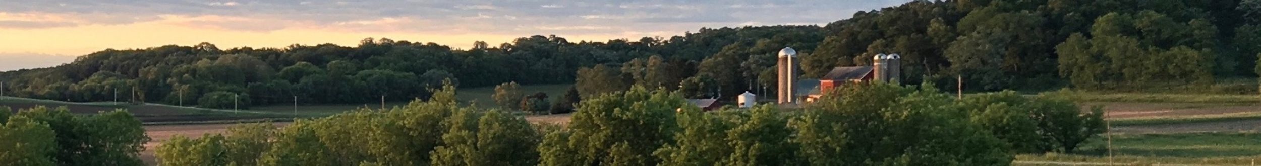
3) If a 40-acre parcel has about 50% woods and about 50% ag field, what is the woods portion taxed at and what is the field portion taxed at. For example, is the field at half the total tax of the woods or are both taxed as ag.
20 acres would be considered ag value D-12; 20 acres of woods would be considered ag forest which is half the value of the forest value. This wooded acreage would be classified as ag forest.
4) If you have a parcel that is part ag and part woods, say 50% ag and 50% woods, and another parcel you own is connected to the woods of 50/50 parcel, but not directly connected to an ag field, what is that second parcel taxed at? My understanding is that a parcel that is attached to a parcel that has ag land, is then taxed at 50% of rate it would have been if it had not been connected to an ag parcel.
In the scenario above, we would need to know the type of land this 2nd parcel is. First to clarify there is no 50% rate of tax value to which you describe. It would be taxed based on the classification of the land not just a standard rate. There are too many ways to answer this question based on the actual land, please have this specific landowner reach out to us so we can answer them. They can also review the 2020 Ag Assessment Guide on the DOR website.
5) What evidence does a person need to provide to get their parcel classified as ag or part ag? FSA aerial photos, written testimony from neighbors?
Access Dane aerials will be updated later this year. Currently we are using the Access Dane 2017 imagery for our classifications. This is the best useful information we have right now. We also send out post cards for property owners to contact us and to update their records. Additionally, if property owners have land enrolled in Conservation Reserve Program CRP or Managed Forest Land MFL, they need to let our office know. Have them send in their paperwork and we will update their records accordingly.
Accurate has a concise explanation of terms and definitions on their website at http://accurateassessor.com/important-links/
For the full Wisconsin Department of Revenue guide, go to
https://www.revenue.wi.gov/DOR%20Publications/pb061.pdf